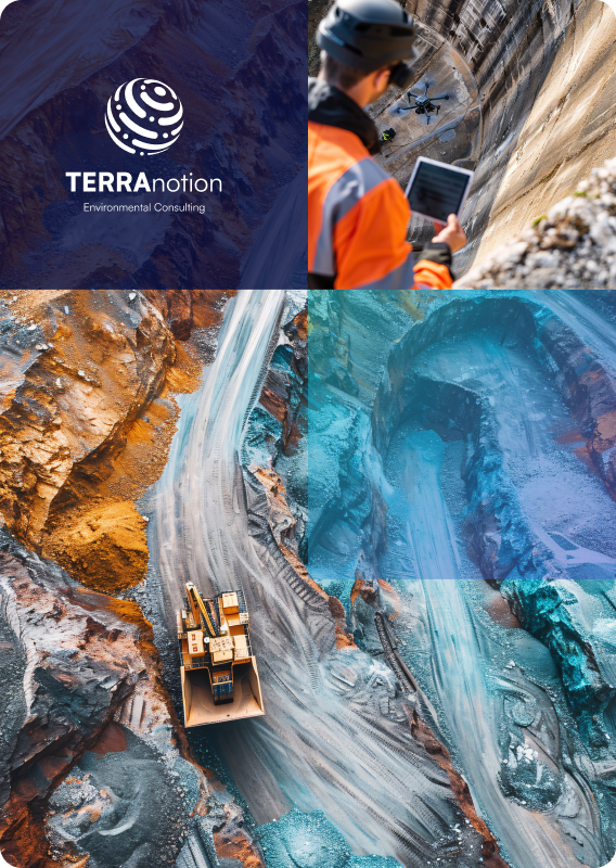
Geological Services
Powerful Geo-Database Tools for Underground Management
Creating regional underground information systems as a planning basis for a sustainable management of natural resources provides a comprehensive and holistic tool for an integrated system monitoring and underground management. With this, the multidimensional geo-database approach provides favorable spatial analysis techniques for complex matters within the economically used underground.
In geological modeling and analysis, TERRAnotion can demonstrate experience and projects in the following areas:
-
Structural 3-D modeling
-
Operational planning for deep-drilling projects
-
Geological research and exploration
-
Underground management concepts